

Where in the world is my well?
Related video: Latitude and longitude (1:56)
Let’s start with an LAS file that is from a publicly available dataset, we know all of these files are for wells in Canada. We’ll open it in the editor and see what we’ve got.
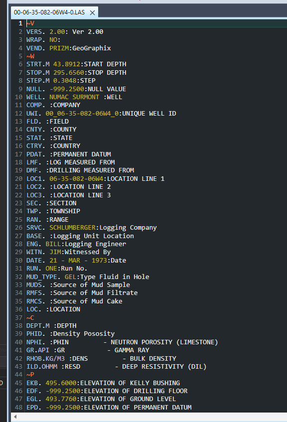
As often happens, even though the LAS (Log ASCII File) Standard was written with the readability of files in mind (these are just text files, after all), things get jumbled, making it a little hard to read. Let’s format the header (F4) to fix that.
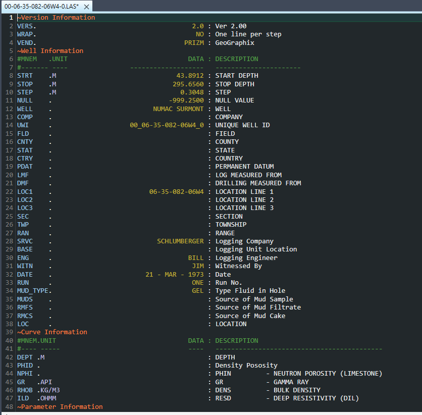
That’s a lot better! It’s a little odd that the location related parameters are empty, even though we know where this well is from, but that often happens, useful data is missing from the file. If we browse down to the ~Parameter section, though, we see there are latitude and longitude values.

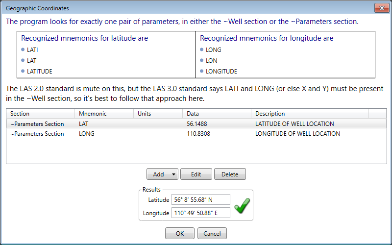
It’s really great when you get these in an LAS file, but what we can we do with them? Well first, we can make sure these are in fact legal values for geographic coordinates. They look like they are, but let’s validate to make sure. In the Geo menu, we’ll select the first menu item, “Latitude/longitude”, and sure enough, these look good.
Next, let’s do a sanity check and look at the well on Google Maps. Go to the Geo menu and select that option. Since the file has geographic coordinates, it should work. (Note: though we’re using Google Maps, the menu also has an option for Bing Maps).
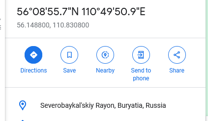
There are a lot of wells in Russia, no doubt, but this is not one of them. The problem is likely the longitude value. People in the Western hemisphere often assume that longitudes here are positive, but a quick look at a globe or map with lines for latitude and longitude will show otherwise. Let’s return to the editor and just manually insert a negative sign in front of the longitude, and try again.
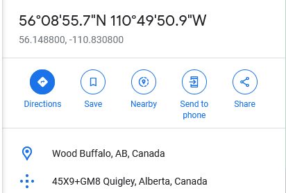
Much better! Is there anything else we can do here? We could copy the little bit of information that we see in Google Maps and add that to the file. But since we have the correct latitude and longitude now, a better thing to do would be to perform an actual lookup, i.e. a reverse geocode. You probably already noticed by now there is an option to do that in the Geocode menu. First, you need to get an API key for the service the program uses, LocationIQ. The key is free, and it only takes a couple of minutes to get, then you can go to Tools|Options, click on the “Geo” tab, and enter the key. Now back to the Geo menu, and let’s do the lookup. What do we get?
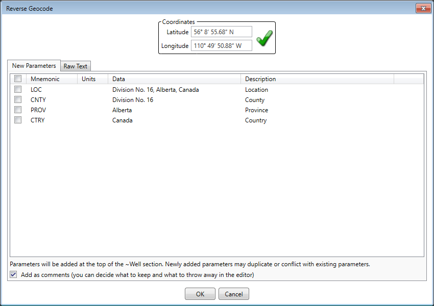
As expected, this well is in Canada. We can let the program create parameters in the file for us, based on the data it found in the data that was returned by the service. Note that in this case, some of the information we saw in Google Maps actually was not returned by LocationIQ. The quality of data coming back from a service like this will usually be reliable, but it may not always be complete. (Note: if you want to see support for a different service added to the program, let us know).
What have we accomplished? We fixed the incorrect longitude, looked at the well on a map, and added some missing geographic information to the file. And it only took a few minutes!
Back to blog index